On an altogether unpleasant Thursday, wet snow that behaved more like soggy white rain fell upon parts of the region during the afternoon.
That would be unremarkable, were it not for the fact that the temperature had hit a record 83 degrees in Philly the previous two days.
With winds gusting to near 45 mph Thursday morning, in the space of 12 hours, the term “wind chill” had replaced “heat index” in the official hourly observations at Philadelphia International Airport.
Temperatures tumbled into the 30s during the afternoon from west to east in the wake of a cold front that has since crossed New Jersey.
The front set off thunderstorms and wind gusts that ripped down wires and took down trees in parts of South Jersey Wednesday night.
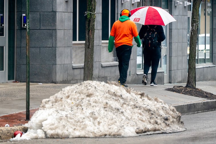
At midafternoon wet snow was falling west of Philly, with a mix of rain and snow in the city.
“Some slushy snow accumulations” could occur on grass that has spent a lot of the winter under a snow-and-ice cover, the National Weather Service said.
Don’t panic.
“It’s not going to amount to much,” said Sarah Johnson, the warning coordination meteorologist at the Mount Holly office. “It may be melting as it falls.”
But she said accumulations of up to a whole tenth of an inch are possible. (For the record, that would be more than what fell in the entire winter of 1972-73.)
On the plus side, whatever falls from the skies should make some contribution to easing the drought conditions around the region. And it looks like there maybe more where that comes from.
In its updated analysis posted Thursday, the inter-agency U.S. Drought Monitor had almost the entire region under “severe drought.” New Jersey remains under a statewide drought emergency, which was declared in December.
Philadelphia, its neighboring counties, and northern Delaware have been running substantial precipitation deficits so far this year, according to data from the Middle Atlantic River Forecast Center.
Significant rain is expected Sunday night and Monday, followed by another cold shot. High temperatures Tuesday and Wednesday might not get above 40 degrees after overnight lows below freezing.
“It’s going to be pretty similar to the broader pattern that we just experienced,” Johnson said — except down a few octaves. Highs during the weekend are expected in the more seasonable 50s, rather than the 80s.
The Climate Prediction Center’s outlook for the period from Tuesday through March 21, the day after the equinox, favors below-normal temperatures for the entire East.
And given that winter evidently is intent on giving ground only grudgingly to the advancing spring, expect more abnormal behavior from the atmosphere. ‘Tis the seasons.